The LANDSUPPORT project
The LANDSUPPORT project aims at developing a web-based, open-access GeoSpatial Decision Support System (S-DSS) devoted to:
- support sustainable agriculture and forestry;
- evaluate trade-off between land uses;
- contribute to the development and implementation of land use policies in Europe.
To achieve this, LANDSUPPORT is developing 100 operational, trans-disciplinary S-DSS tools, based on a smart Geospatial CyberInfrastructure (GCI), to achieve a set of innovative scientific, technical and land policy-oriented specific objectives.
Project activities are carried out on different geographical and governance scales, from the European level to the national and regional/ local scale –in Italy, Hungary and Austria – with two additional pilot sites in Tunisia and Malaysia. This allows for testing LANDSUPPORT tools in very different physical, socio-economic and cultural settings.
On these basis, LANDSUPPORT is promoting an integrated approach towards rural development policies, by linking science and practice and exploring the vast potential of e-science in agriculture.
LANDSUPPORT’s vision aims at reconciling agriculture and environment, showing that the sustainable management of “land as a resource” is not simply a wicked, unsolvable problem, but rather a complex reality that can be dealt with by using appropriate DSS tools.
See all info here : www.landsupport.eu
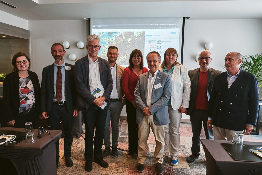
A press conference on 3 July presented the project and allowed attendees to get hands-on with some of the web-based tools at its core. Comments and input came from agriculture and soil experts from LANDSUPPORT, the European Council of Spatial Planners (ECTP), the Istituto Nazionale di Urbanistica (INU), and the Italian National Institute for Environmental Protection and Research (ISPRA).
To encourage better policy decisions and protect against land degradation, the project created the Land Take tool – one component of a web-based, open access GeoSpatial Decision Support System (S-DSS) – the LANDSUPPORT S-DSS platform. It employs a combination of data, modelling, and on-the-fly calculations to analyse, monitor and mitigate land take for the entire European territory.
The tool has a number of potential applications – aiding National Public Authorities who require ongoing monitoring of land take in their territory; assisting planning at a regional or provincial level where planning guidelines need to be adopted; and informing decisions at an administrative level where final land take decisions are made.
